

হাইড্রোগ্রাফিক তথ্য
Hydrographic Data
There are one bar at mouth of the Rabnabad Channel called the Outer bar and the second the Inner bar at 2.5 km from the entrance of Tiakhali River. The 72 nautical mile long Kajal-Tetulia river route is connected with high seas through Rabnabad Channel. This river route is presently suitable for plying with 4.0m meter draught from PPA Inner Anchorage to Dhaka and other destination. The least depth at outer bar is 5.2 meters (approx) from the chart datum (CD) i.e. Lowest Astronomical Tide (LAT).The Least depth at the inner bar 5.0 meters from Lowest Astronomical Tide (LAT).
Depth at Rabnabad Channel ranges from 11.0 meters to 25.00 meters and depth at Kajal-Tetulia river route from 4.2 meters to 17.5 meters.
Max. Velocity of Current at Rabnabad Channel as Under:
|
Spring |
tides |
(S.W.Monsoon) |
2.5 |
to |
3.5 Knots. |
|
Neap |
tides |
(S.W.Monsoon) |
1.5 |
to |
2.5 Knots. |
|
Spring |
tide |
(Winter months) |
upto |
2 Knots. |
|
|
Neap |
tide |
(Winter months) |
upto |
1.5 Knots. |
Salinity
Salinity at Rabnabad Channel varies from 0.1 gms/1000c.c at low water to 0.2gms/ 1000c.c at high water during monsoons and from 2.5gms/1000c.c at low water to 16.5gms/1000c.c at high water during dry season.
Salinity at Kajal river varies from 0.15gms/1000c.c at low water to 3.3gms/1000c.c at high water during monsoon and from 10gms/1000cc at low water to 27 gms/1000c.c at high water during dry season.
Width
The width of the navigational channel (5.0m. contour) varies from place to place. From fairway to the mouth of Rabnabad Channel there is no restriction of Navigational width. A minimum of 250 m. Channel width is maintained in Kajal- Tetulia route.
Wind Velocity
The weather in Bangladesh is largely governed by the monsoon. The prevailing wind directions are from South to South East during the months of April through September. After taking easterly direction for a while the wind turns to the northerly and north easterly directions, the later prevail from November to January. During the months of February and March winds turn via westerly direction back to the Southerly to south Easterly. In excess of 20 Knots/ Beaufort wind scale 5.prevails for 6 percent to time while those in access of 30 Knots/Beaufort wind scale 7 persists for about 0.1 percent of time during cyclones i.e. During the transition between monsoon and dry seasons in May, October and November.
The area of Payra port experienced four severe Cyclonic water surge during the last 44 years. In 1960 & 1963 speeds recorded were 125 Knots Max. In 1970 and 1991 speeds were recorded 138 Knots max. and 180 Knots max. respectively.
Tidal Ranges
The tides are important for navigations as determine the possibility of crossing the shallow area between Payra Fairway and the Meghna entrance at Hizla point and the Bars within Port Limit. The tides are semi diurnal with prominent diurnal effect. The approx. Tidal Ranges at Rabnabad Channel and Amirganj(Meghna junture) from Chart Datum (ISLWL – Indian Spring Low Water Level which is 1.673m below mean sea level) are as follows: At Rabnabad Channel: 0.8m.-3.5m. (above ISLWL) At Amirganj(Meghna junture): 0.7m-2.8m. (above ISLWL)
Waves
The waves are generally low shown distinct relation with the wind. Maximum wave heights over 2m were recorded only on a few days during the small parts of days. The wave periods vary between 3-4 seconds of waves of about 0.5m and about six seconds for waves of 2m. These are from on observation made by NEI (Netherlands Economic Institute) 1972–1977.
During the month's May to October freshets are expected, Freshets are caused by the normal velocity of flow of ebb tide augmented by flow of additional volume of water that drains into the river from the catchment area. Freshets are expected when rainfall intensity reaches 200mm in 24 hours.
The density of water varies at each turn of the tide. Masters are advised to obtain the Circular from the local agents and follow the instructions closely.
The Dredged Channel of Rabnabad:
An access channel has been dredged within the Rabnabad Channel, which is presently being maintained through regular dredging. Various particulars of the access channel are as follows:
Length - 75km
Width (Inner Channel) - 110-130m.
Bend -168-200m
Width (Outer Channel) - 140m.
Maintained Depth – 10.5 m (please see the draft chart for up to date information of depth by clicking here পানির-গভীরতা - পায়রা বন্দর কর্তৃপক্ষ- (ppa.gov.bd)).
The channel is marked by 28 (or 14 pairs of) navigational buoys. The coordinates of the access channel’s center line are given below:
|
Coordinates of Rabnabad Channel’s Center Line |
||
|
SL |
Latitude |
Longitude |
|
Inner Channel |
||
|
A |
22 01 04.7986 N |
90 19 41.0962 E |
|
B |
21 57 33.7368 N |
90 18 23.4641 E |
|
C |
21 56 40.7807 N |
90 17 59.1244 E |
|
D |
21 51 50.0893 N |
90 16 11.5096 E |
|
Outer Channel |
||
|
E |
21 43 37.2300 N |
90 16 18.6801 E |
|
F |
21 23 01.3197 N |
90 06 02.7094 E |
চেয়ারম্যান

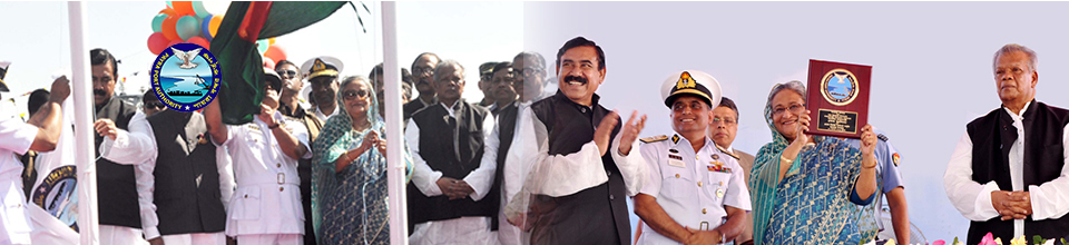
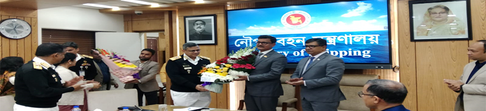
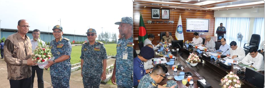
রিয়ার এডমিরাল আবদুল্লাহ আল মামুন চৌধুরী, এনবিপি, বিএসপি, এনডিসি, পিএসসি ২৫ জানুয়ারি ২০২৪ ইং তারিখে পায়রা বন্দর কর্তৃপক্ষ এর চেয়ারম্যান হিসেবে যোগদান করেন।
প্রকাশনাঃ বদলে যাওয়া দৃশ্যপট

কেন্দ্রীয় ই-সেবা
গুরুত্বপূর্ণ লিংক
- মন্ত্রিপরিষদ বিভাগ
- নৌ-পরিবহন মন্ত্রণালয়
- নৌ-পরিবহন অধিদপ্তর
- এডিপি/আরএডিপি ম্যানেজমেন্ট সিস্টেম (এএমএস)
জাতীয় সংগীত

ইনোভেশন কর্নার

নবস্পন্দন

সামাজিক যোগাযোগ


জরুরি হেল্পলাইন নম্বর